Gladstone Mine, Ibex Wilderness
Was a very windy day in the desert today. Stella and I drove down to Tecopa and down towards Ibex Pass area. Turning west on AR021 (4x4 HC required) we headed in the direction of the Eclipse Mine. We parked Rubi at 35.8525N, -116.3544W (subsequent WGS84 DD coordinates list decimal portions only lat, lon) el 2067 and headed N–NW across a wash, staying east of the toe of the ridge before turning into the next wash and trending toward its north bank. Around .8605, .3667 el 2381 we joined the old China Ranch Road and headed W along it. To the left, the old Paddys Pride Mine (Sec 7, T20N, R6E, MDM) came into view.
I was dealing with some QL pain so decided we’d make this a one objective day and not a quad-roaster. At .8574, .3826 el 2723, the old road turned NW. We encountered some new vehicle tracks (looked like an ATV/UTV and a dirtbike) that had clearly violated the wilderness rules and driven in here (SHAME SHAME!). We photographed them for posterity. We actually missed a turn in the road around el 2893 and went up a wash that resulted in some bushwhacking and a dryfall climb but it eventually dumped us back on the road a little more scratched up and with some climbing effort expended — tis the life of a desert rat.
The road improved significantly around el 3058 and had some really excellent examples of stone retaining walls that were common in the wagon era in the early 1900s. The road looked like it supported vehicles too, but it was almost certainly not originally designed for them. I for one am glad this is closed to vehicles because then I might feel motivated to try driving it and the off camber sections looked to be 25–30 degrees which is around my emotional design limit.
After 4 miles or so we arrived at the objective: the Gladstone Mine (T20N, R5E, MDM in a MULT area approx. at .8707, .3937 el 3064). The Gladstone is a former Pb-Cu-Au-Ag (Lead, Copper, Gold, Silver — come on, get your High School chem memories back) and, interestingly, graphite mine. There were several—I counted 3—ruins of stone buildings along with several adits, shallow shafts, trenches, and a gloryhole. We found ample evidence of good ore on the dumps, including chrysocolla, galena, and what looked like some gold sulfides. I poked my head into one adit and followed a deep blue band of chrysocolla for about 20 feet on the hanging wall.
We poked around for a bit then did the hike back following the same route we took up. After packing up the trusty old Rubi, we headed over to China Date Farm and had date shakes.
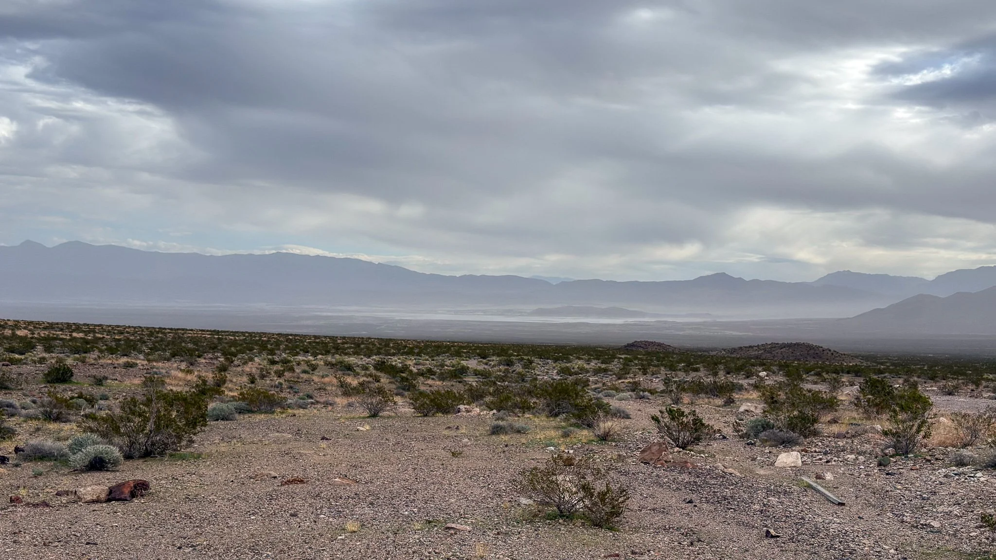
Looking back towards a lot of wind blown salt and sand coming off Lake Tecopa. The winds were NW gusty around 20–30 mph kicking up a lot of material. We were glad to be in the lee of the Ibex Hills for this hike.
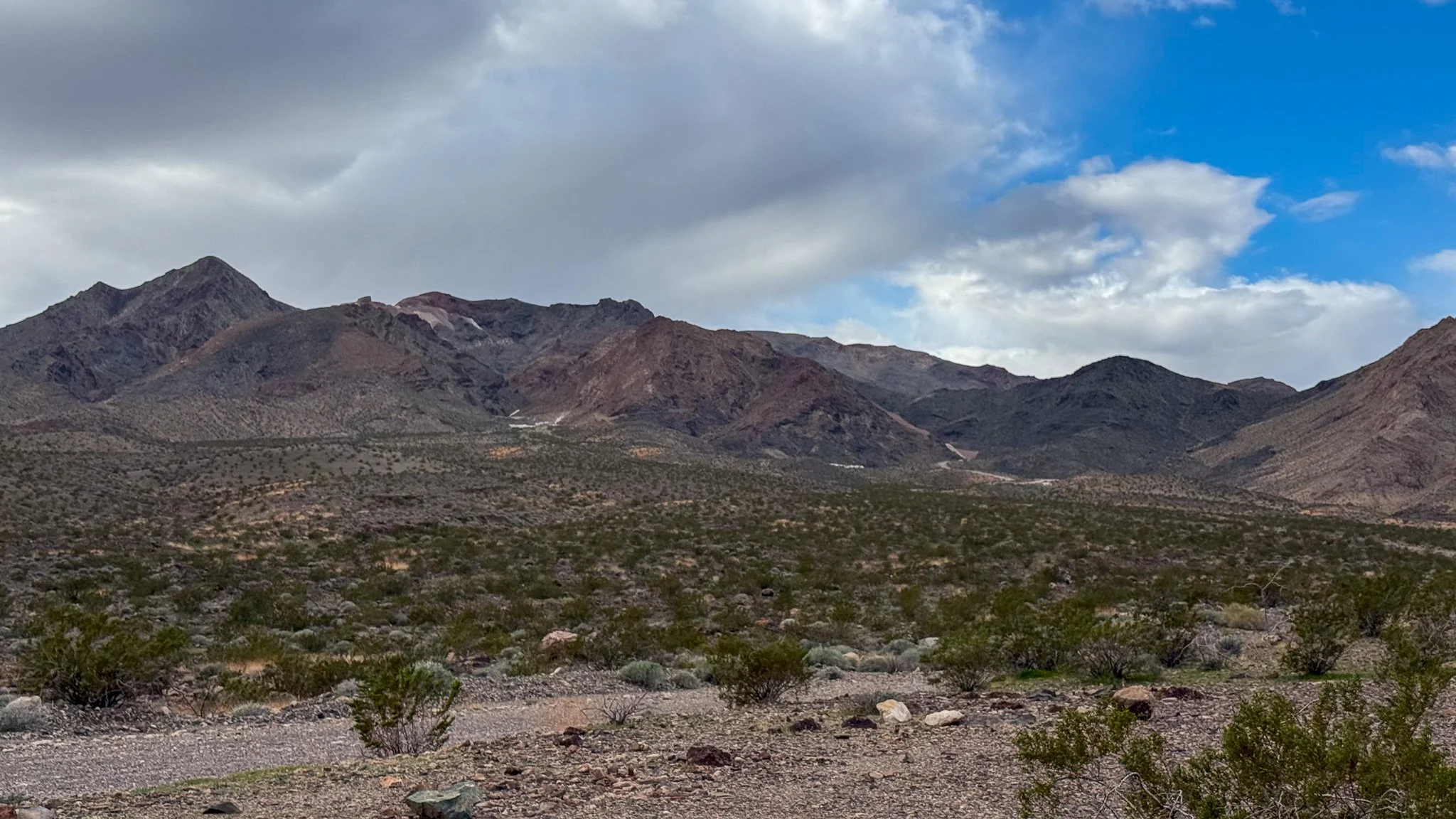
Looking towards the Eclipse Mine, a former talc-soapstone operation. This was one of the deadliest mines in the region, logging 3 deaths from 1941 to 1948. Talc mines are already enormously dangerous because of the soft nature of talc, but this mine was also problematic because of the retreat mining they were doing.
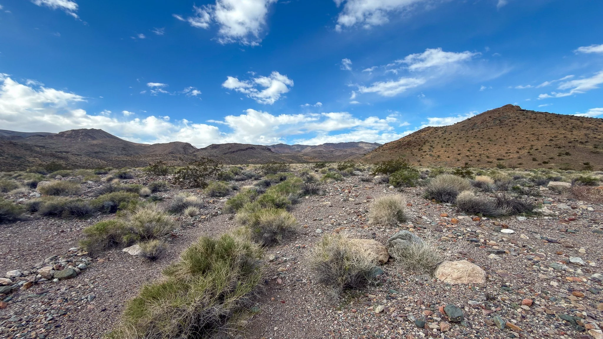
Looking up the unnamed wash. About ¼ mile from where this was taken, we joined the old China Ranch Road for the duration of the hike.
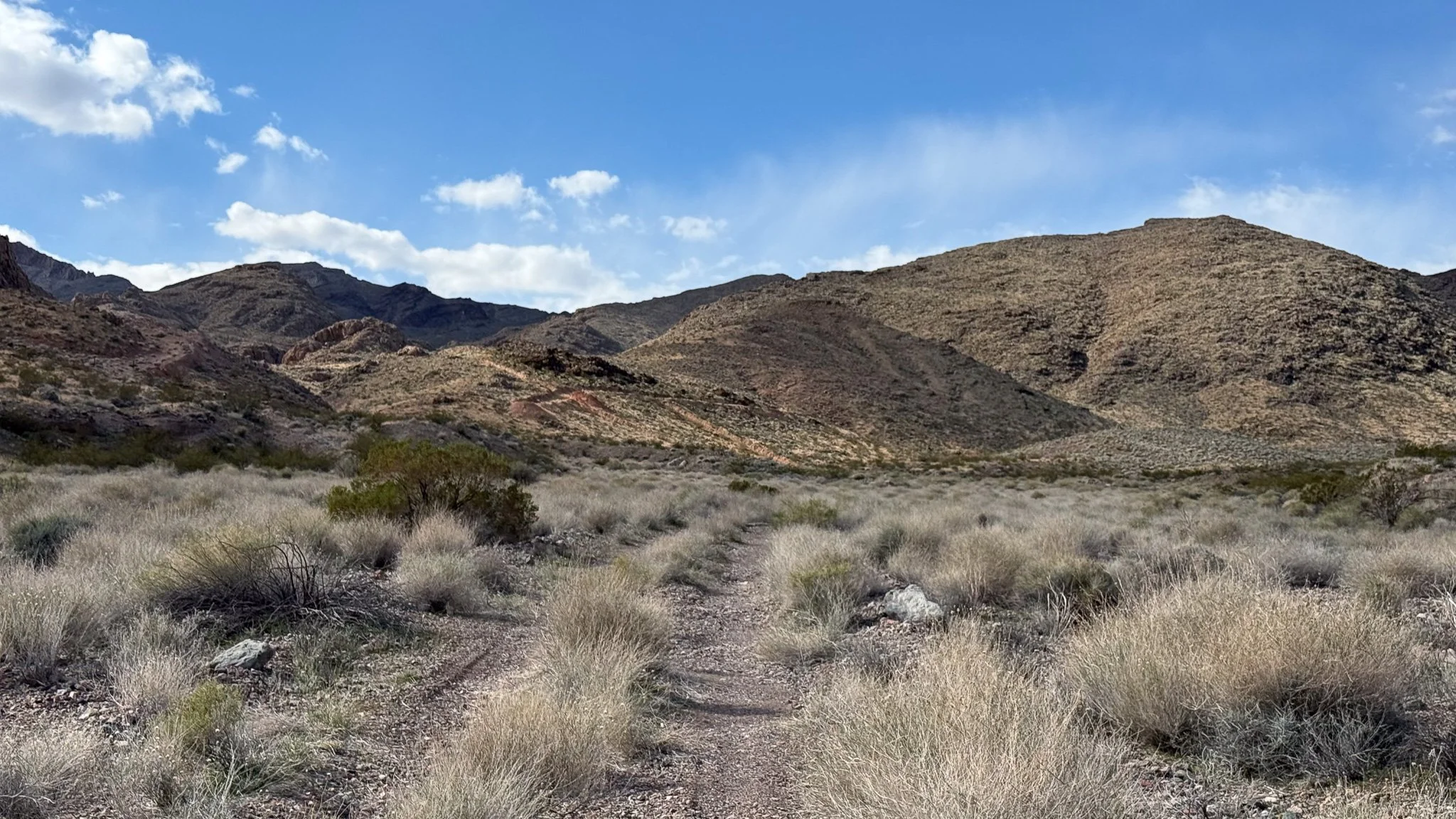
The intersection where the road heads left to the Paddys Pride Mine or right to the Gladstone Mine. We stayed right. On the hillside straight ahead you can see some of the more recent bulldozer cut prospects before this became a wilderness.
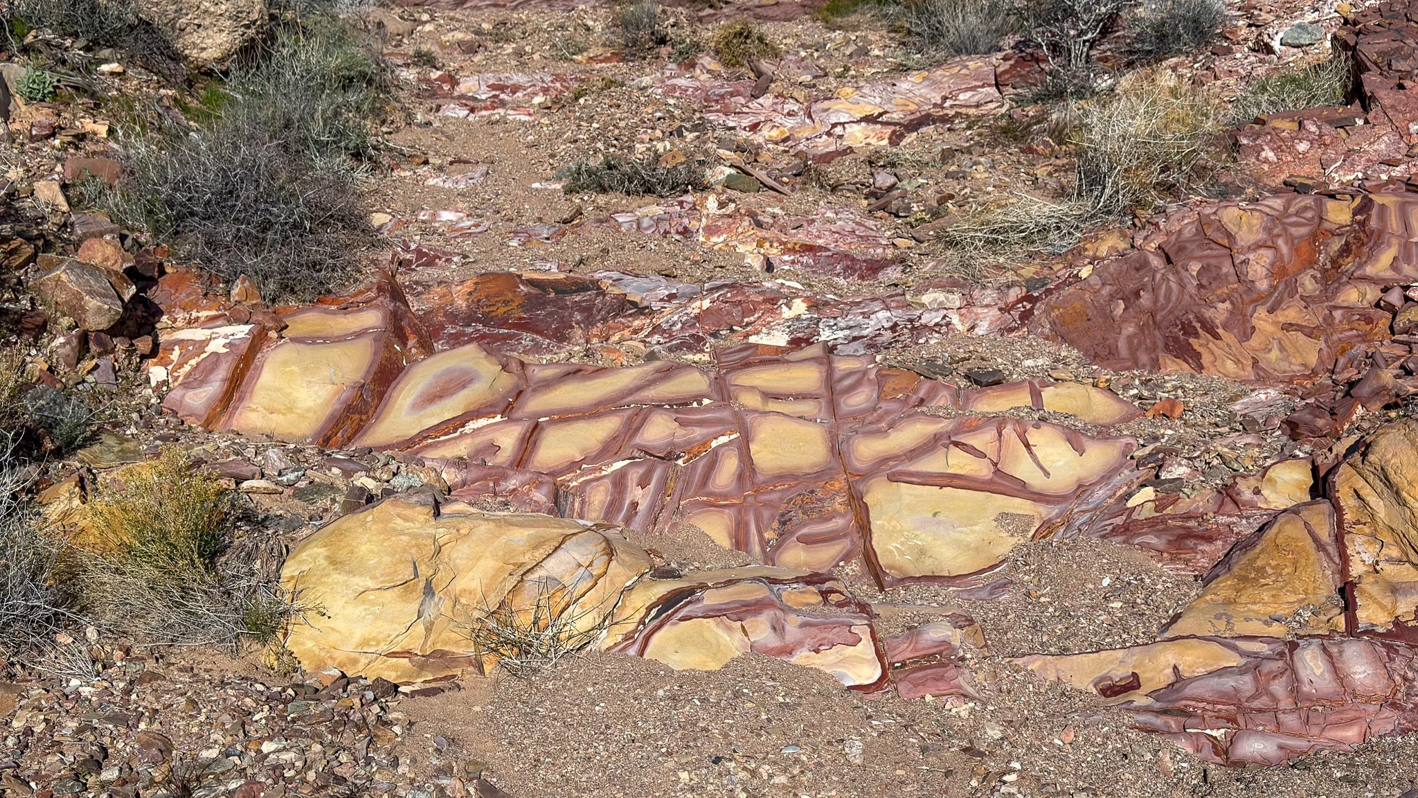
A striking outcrop of silicified sediment, stained red and ochre, fractured into polygonal plates by iron-rich seams. The bedrock here is Precambrian (703–157.3Ma) undivided, unit 1 , Death Valley. This is a heterogeneous assemblage of conglomerates, shale, sandstone, limestone, dolomite, marble, gneiss, hornfels, and quartzite. This is perfect terrain for epigenetic hydrothermal alteration processes which results in the crosscutting quartz veins further up the road and, ultimately, the ore body that the Gladstone mined.
Some of the first retaining walls we encountered on the old road.
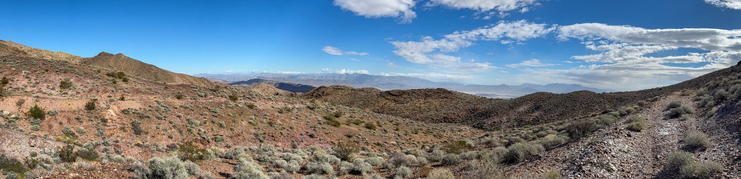
Looking back towards Lake Tecopa, the wind still whipping up a lot of dust.
Looking down a deep and narrow—unnamed—canyon. This is where the road was most off-camber. We plan to come back and explore that canyon, but didn’t want to drop in the from top for the first time in case it falls out.
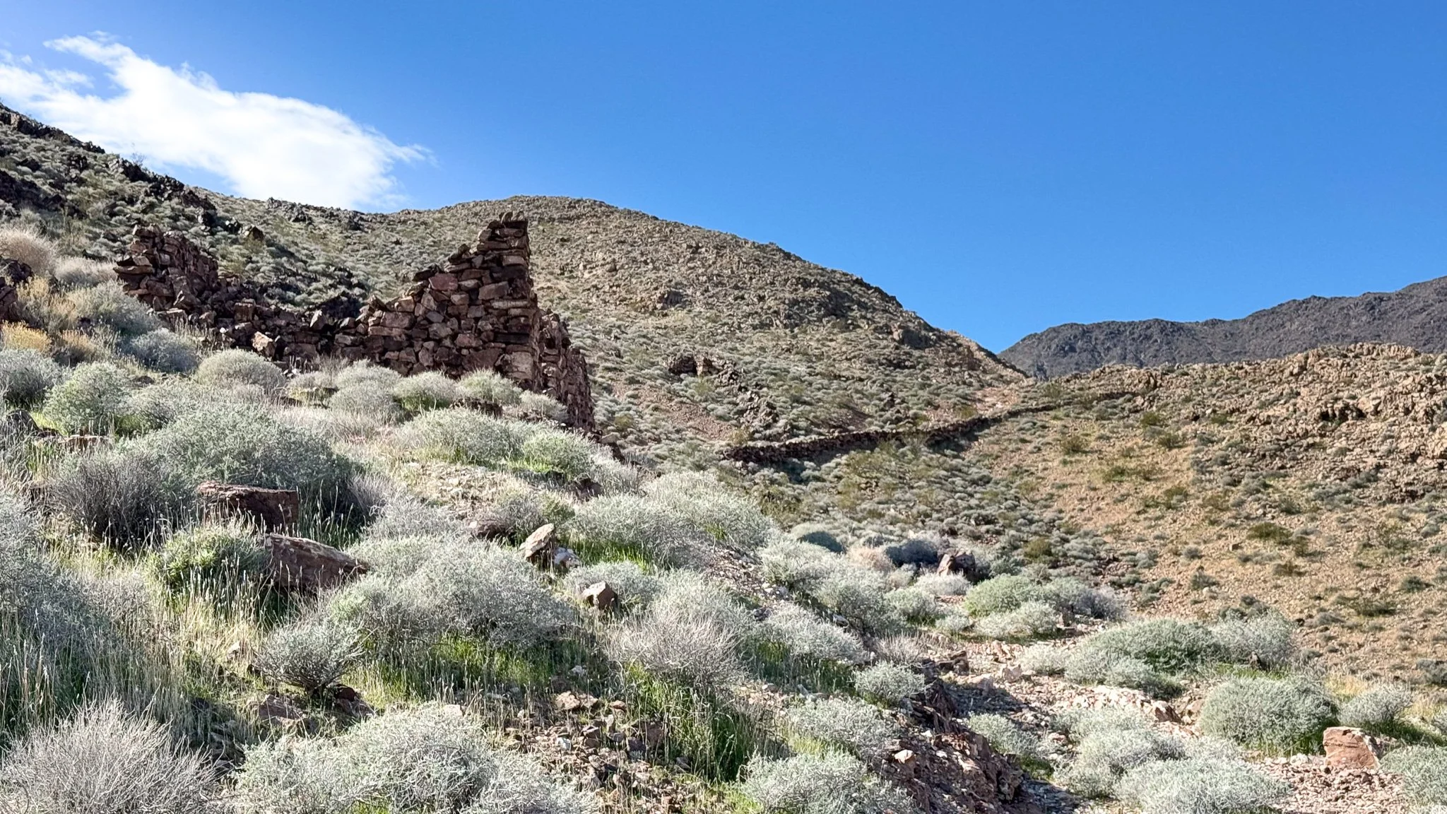
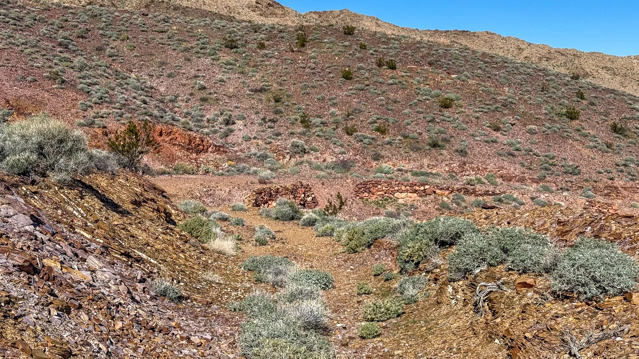
The first stone bunkhouse and great example of retaining walls leading up to the Gladstone Mine workings.
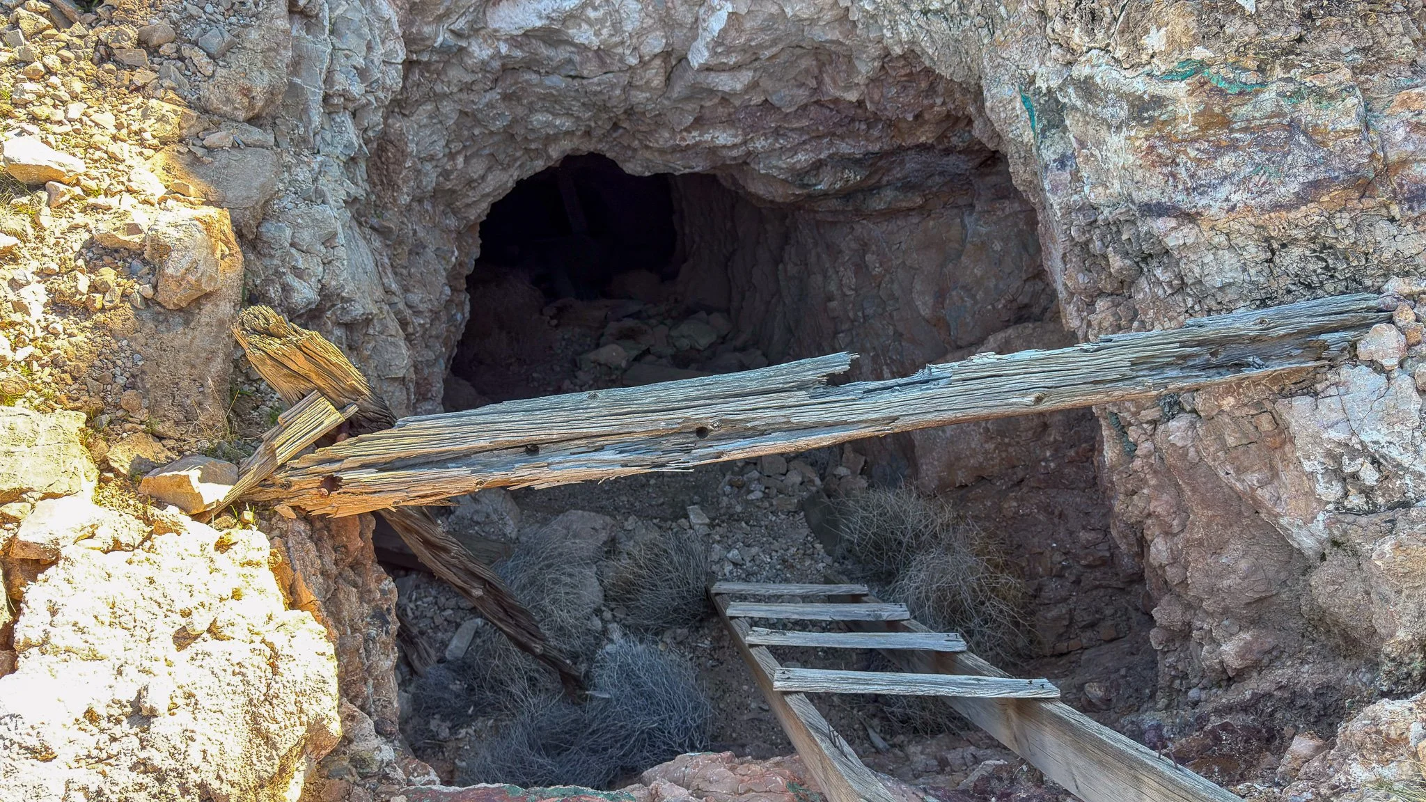
Looking down the only shaft indicated on the USGS topo map. Notice the copper veining on the right rib of the shaft.
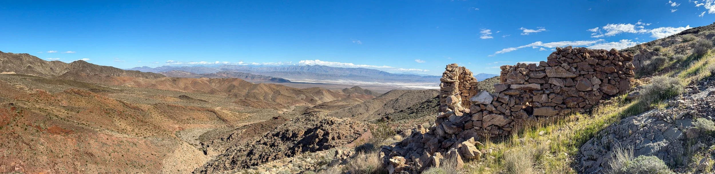
Beautiful view from the uppermost rock cabin ruin. I imagine how nice it would be to look out on this after a hard day in the hole.
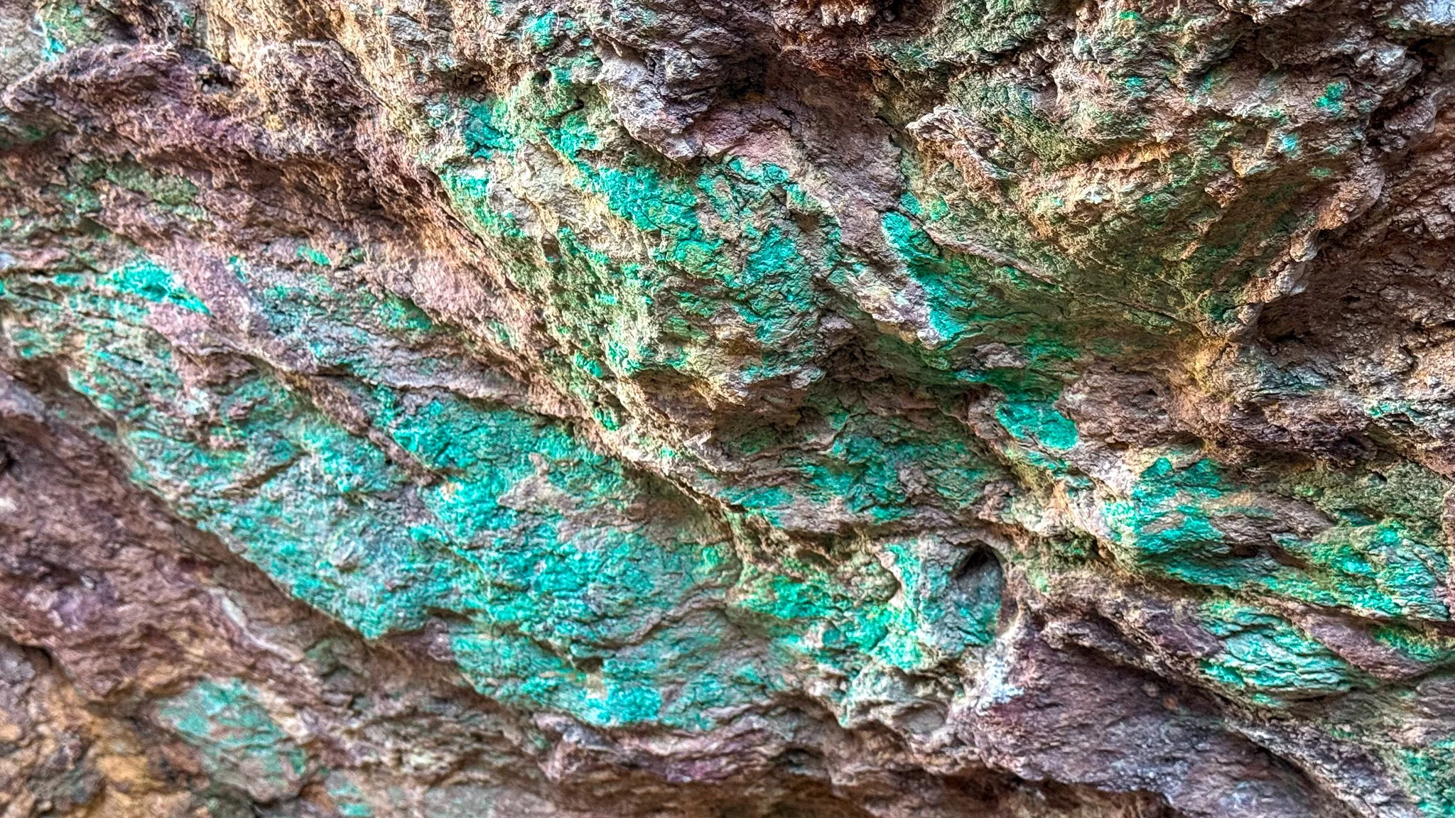
Close up on the chrysocolla ore in one of the workings.
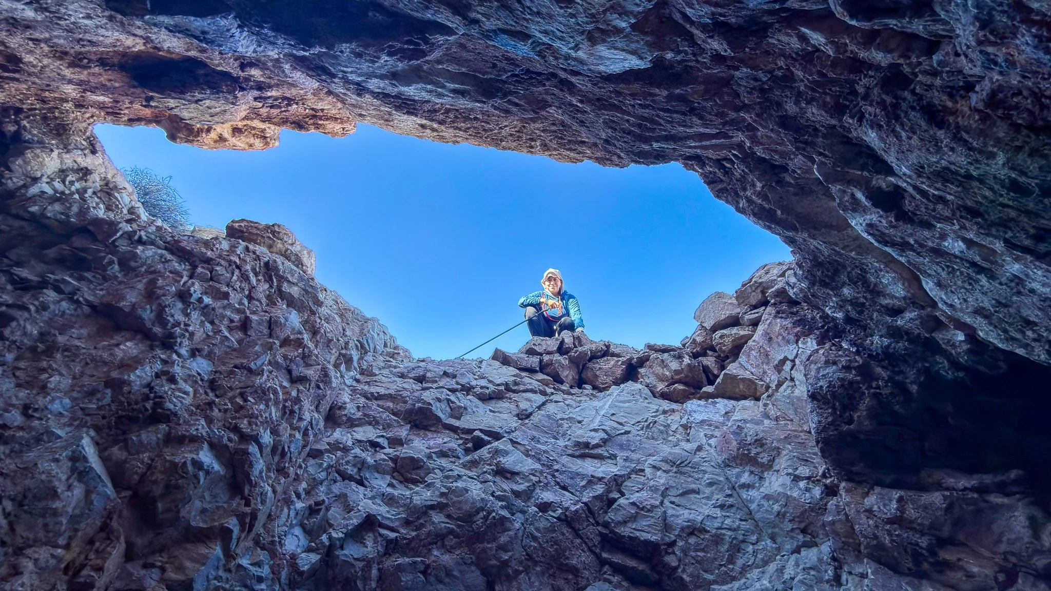
A displeased wife looking down on me in the gloryhole.
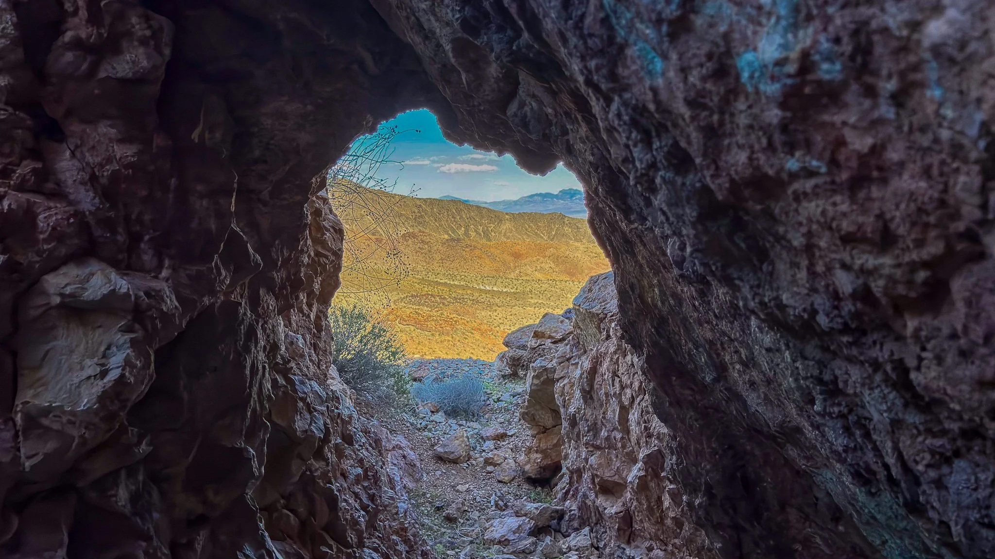
Looking out on the desert from one of the adits. Notice the beautiful blue ore on the hanging wall (right side for you non-mining people).
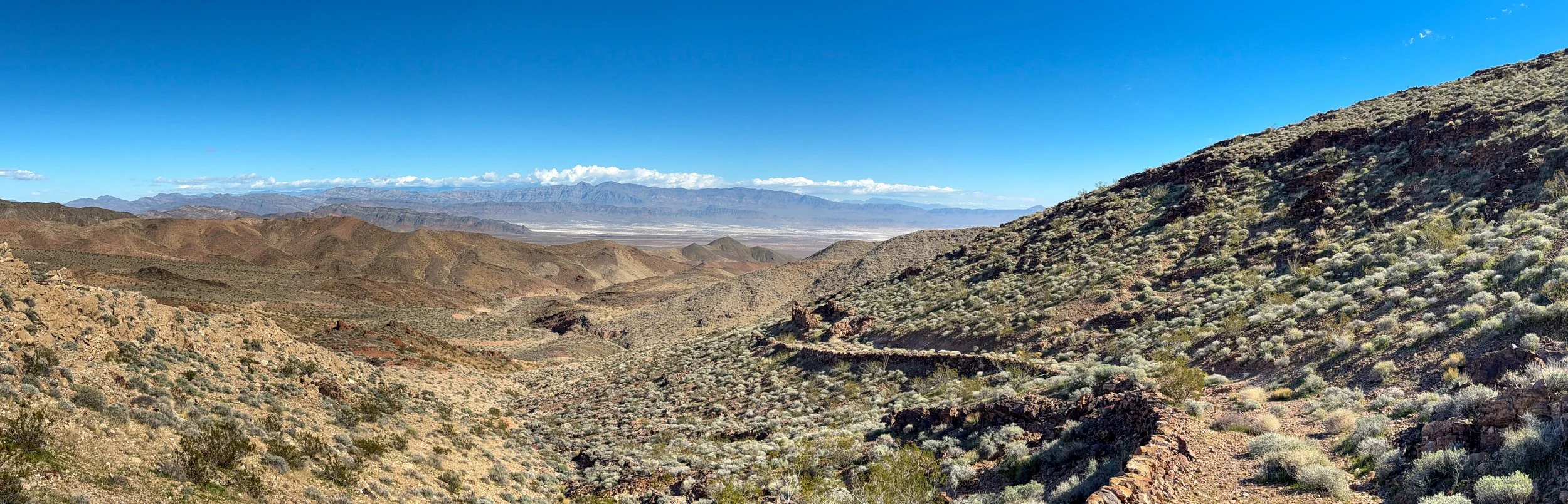
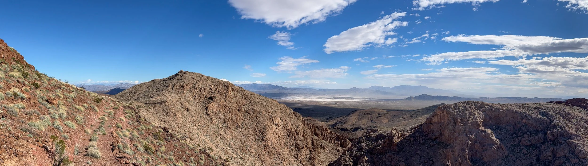
Headed back down. Still admiring the massive effort that had to go into building the road, retaining walls, and all those stone buildings. The Nopah Range is in the distance and if you look really closely, Charleston Peak is poking through the clouds.
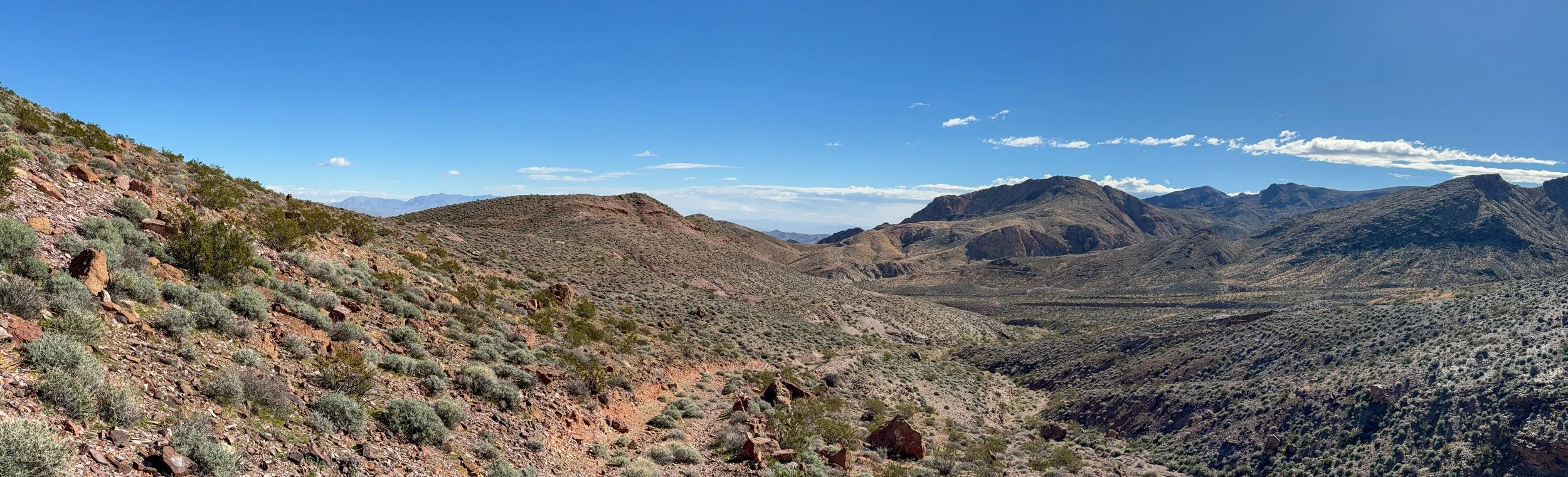
On the way up, we missed the road and took the wash that parallels it—was fun, with some scrambling, but after 6 miles we were happy to take the road down. In the distant middle, you can see the winding road to the Paddys Pride Mine—we’ll come back for that one.