A jaunt up Lemoigne Canyon
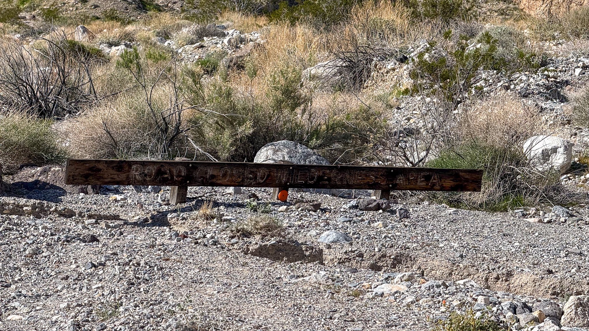
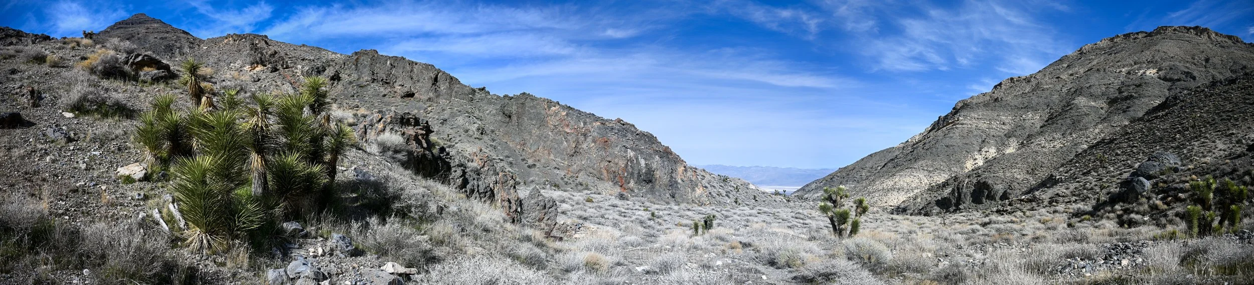
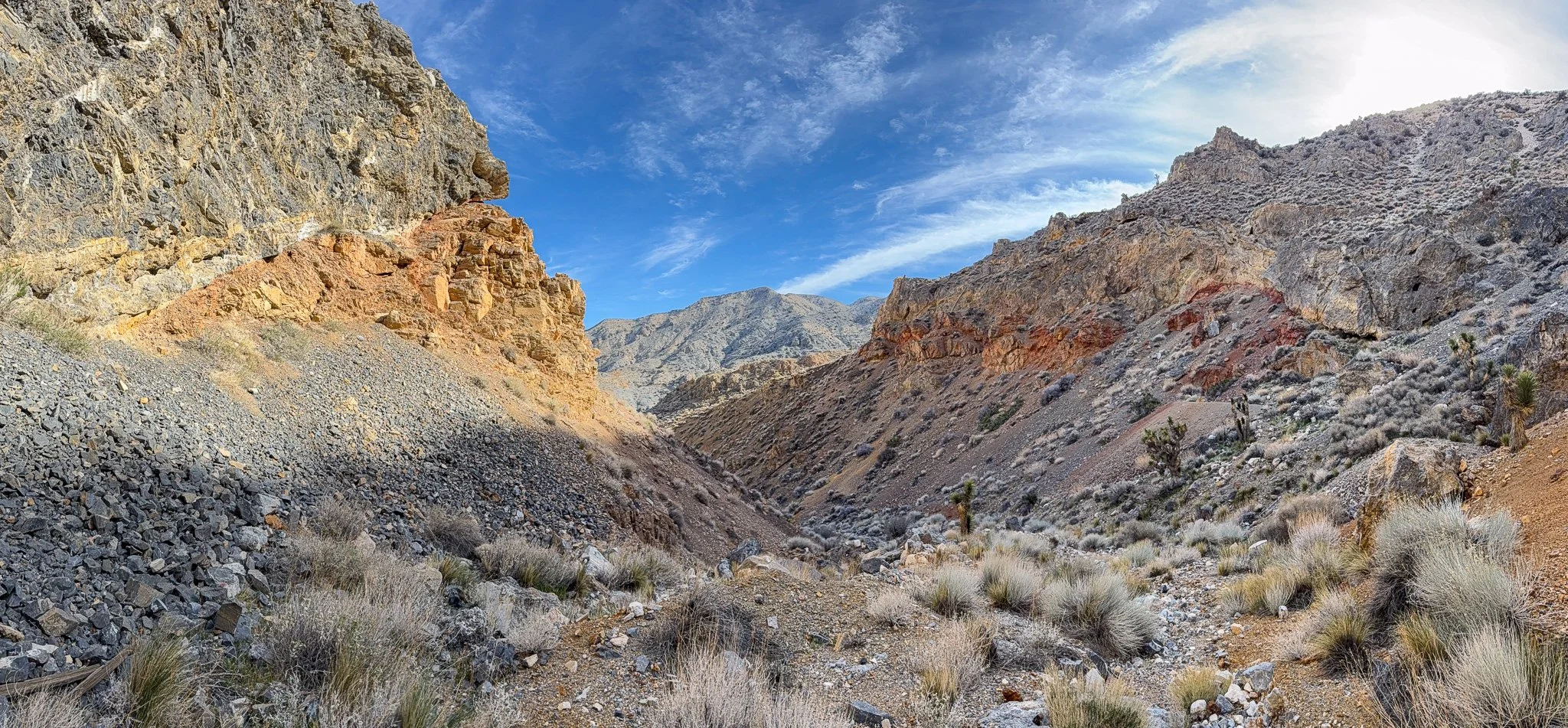
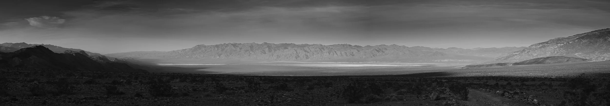
January 31, 2026 — Stella and I decided to take a long jaunt up to John Lemoigne’s cabin near his old lead mine (no PLSS designation; area unsurveyed) which is about 4.5 miles up Lemoigne Cabin (plus or minus depending where you park). Lemoigne Canyon Road starts off CA190 3 miles north of Emigrant Junction and trends southwest. The road is a 4x4 track, especially after the first mile and should only be attempted with a proper vehicle and skills. A regular car will suffer damage. As a 4x4 road it was easy going, aired down to 20, until the drop into the wash near 36.5115N, -117.2575W (subsequent coordinates will be decimal portion only) el 2010. After entering the wash, the road became appreciably more challenging with embedded rock obstacles, careful route finding, and drive overs. I was happy that I have a short wheelbase 2-dr JL for this as a long wheelbase vehicle probably would have had challenges. Eventually, we got tired of rock hopping and decided to stop a little early of the wilderness barrier and parked at (.4979, .2768) el 2553 and walked from there.
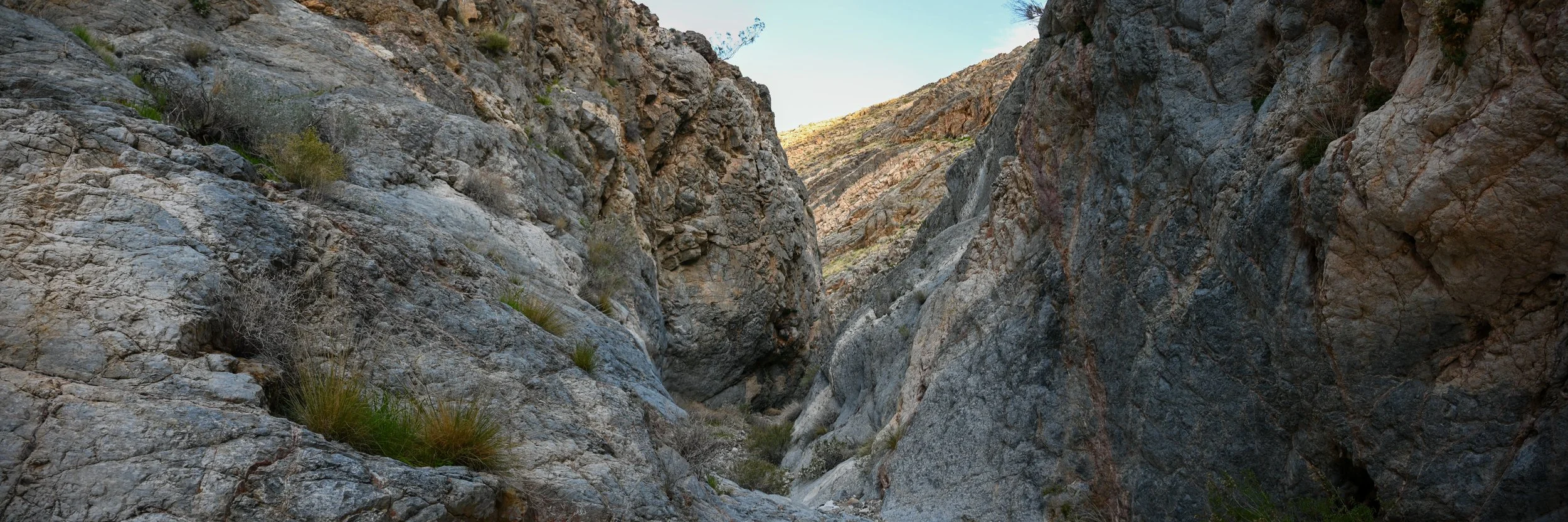
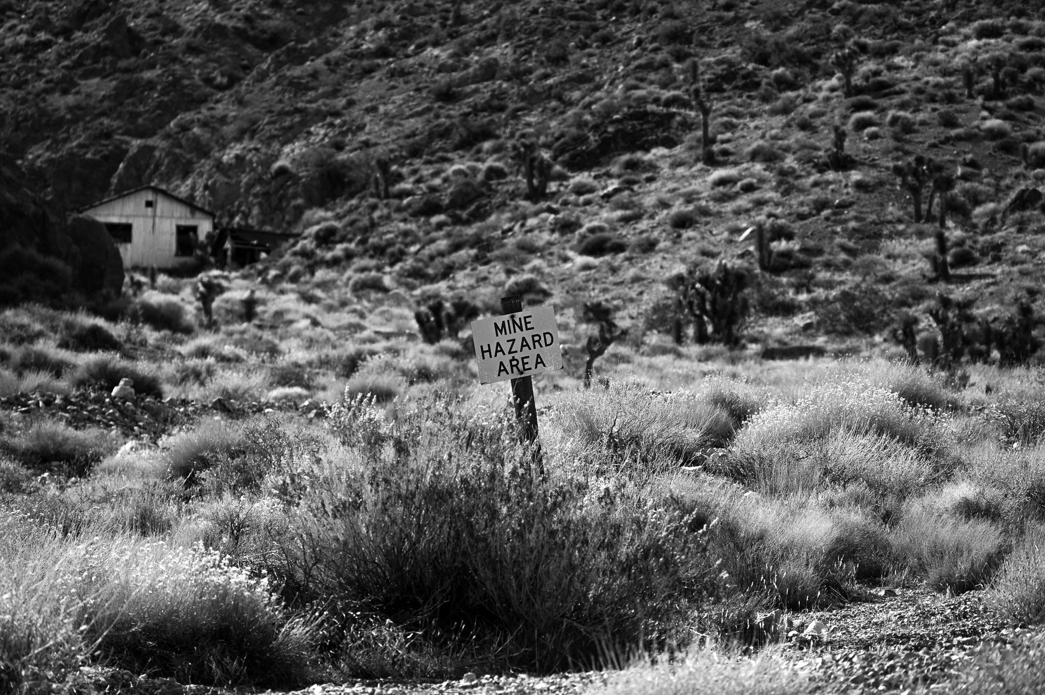
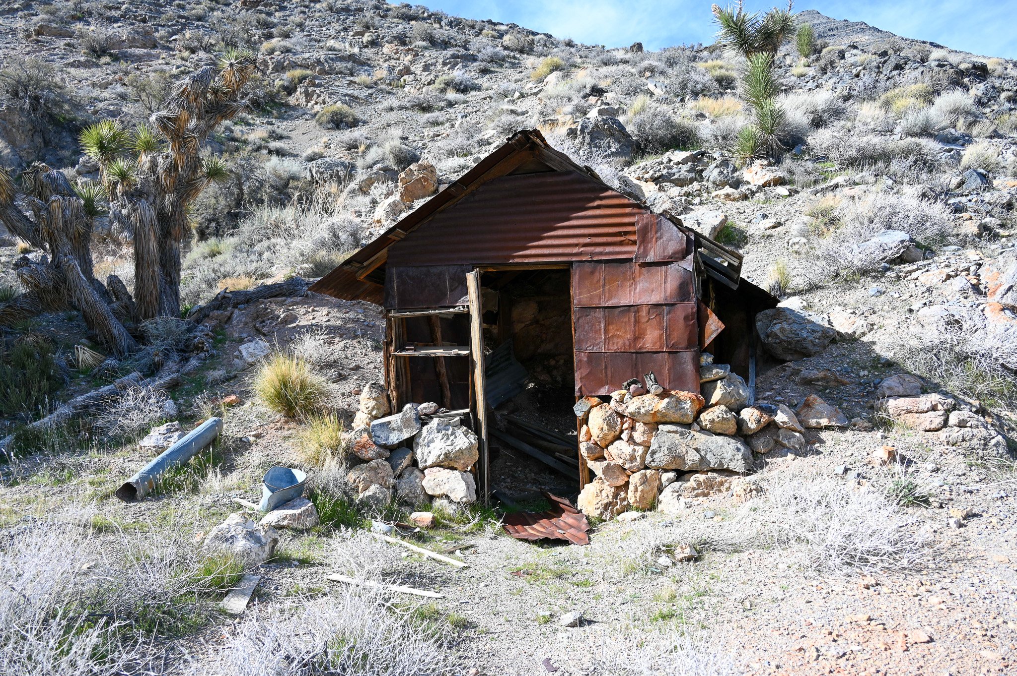
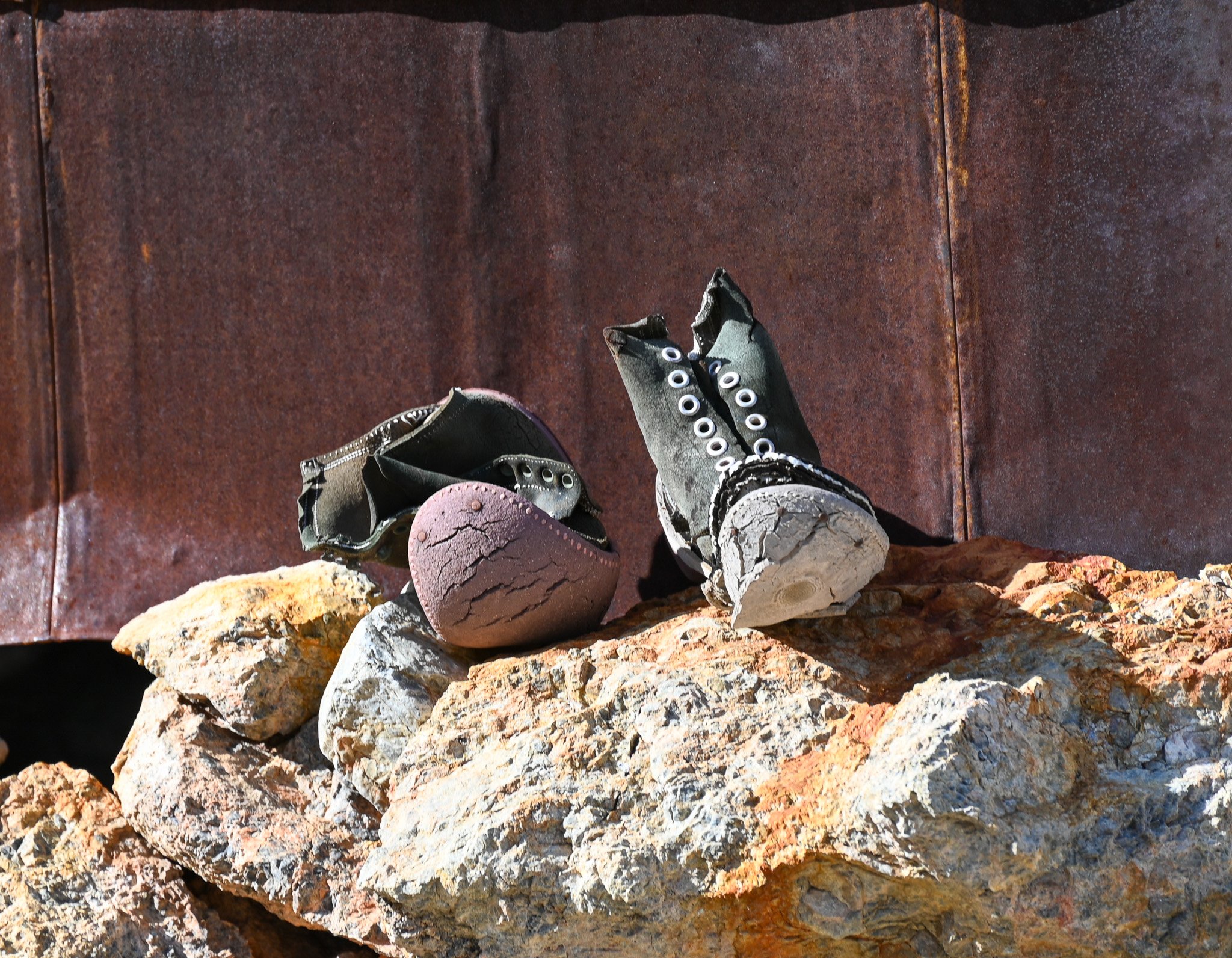
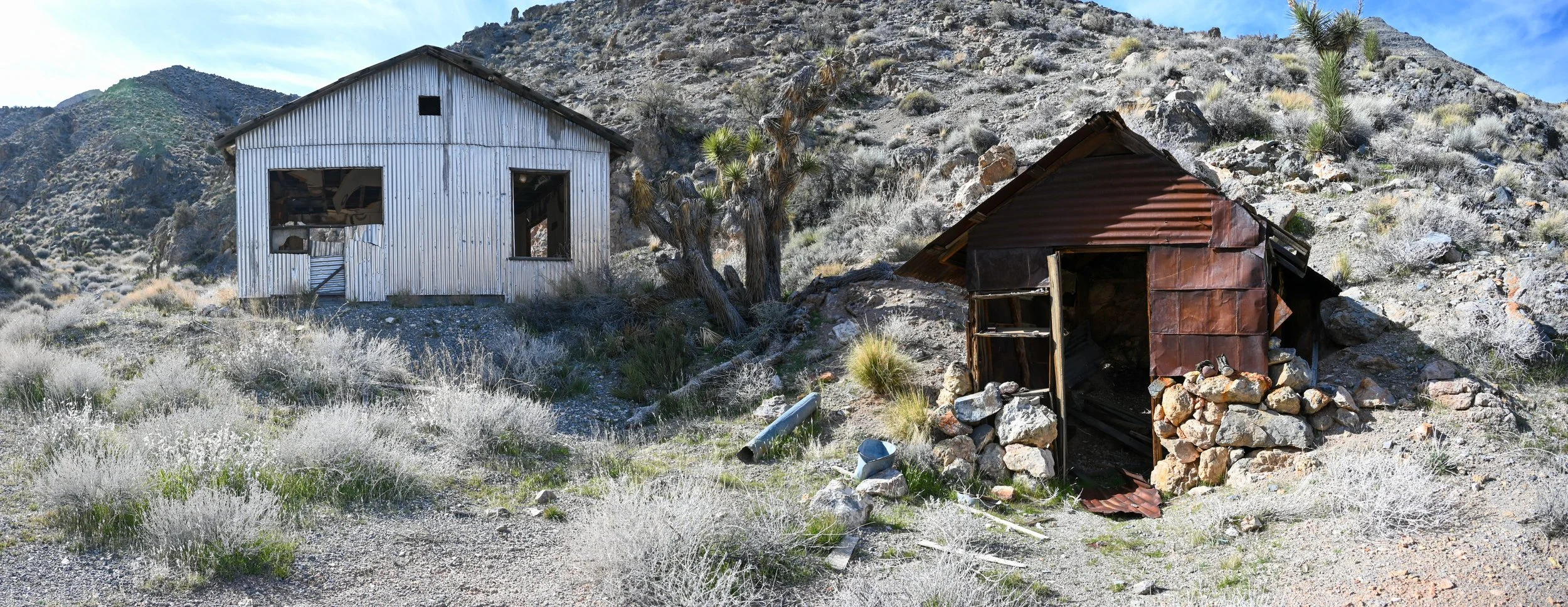
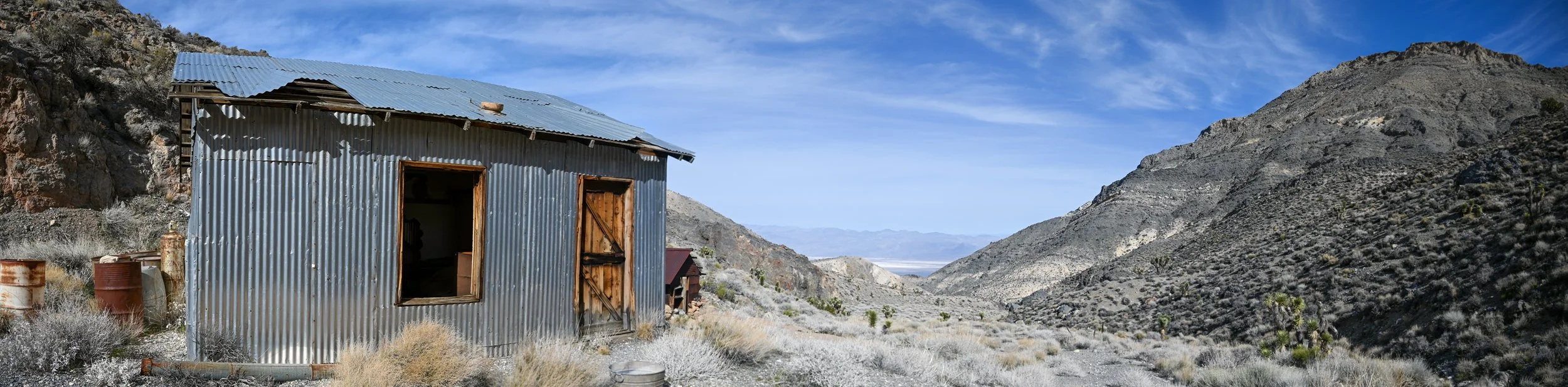
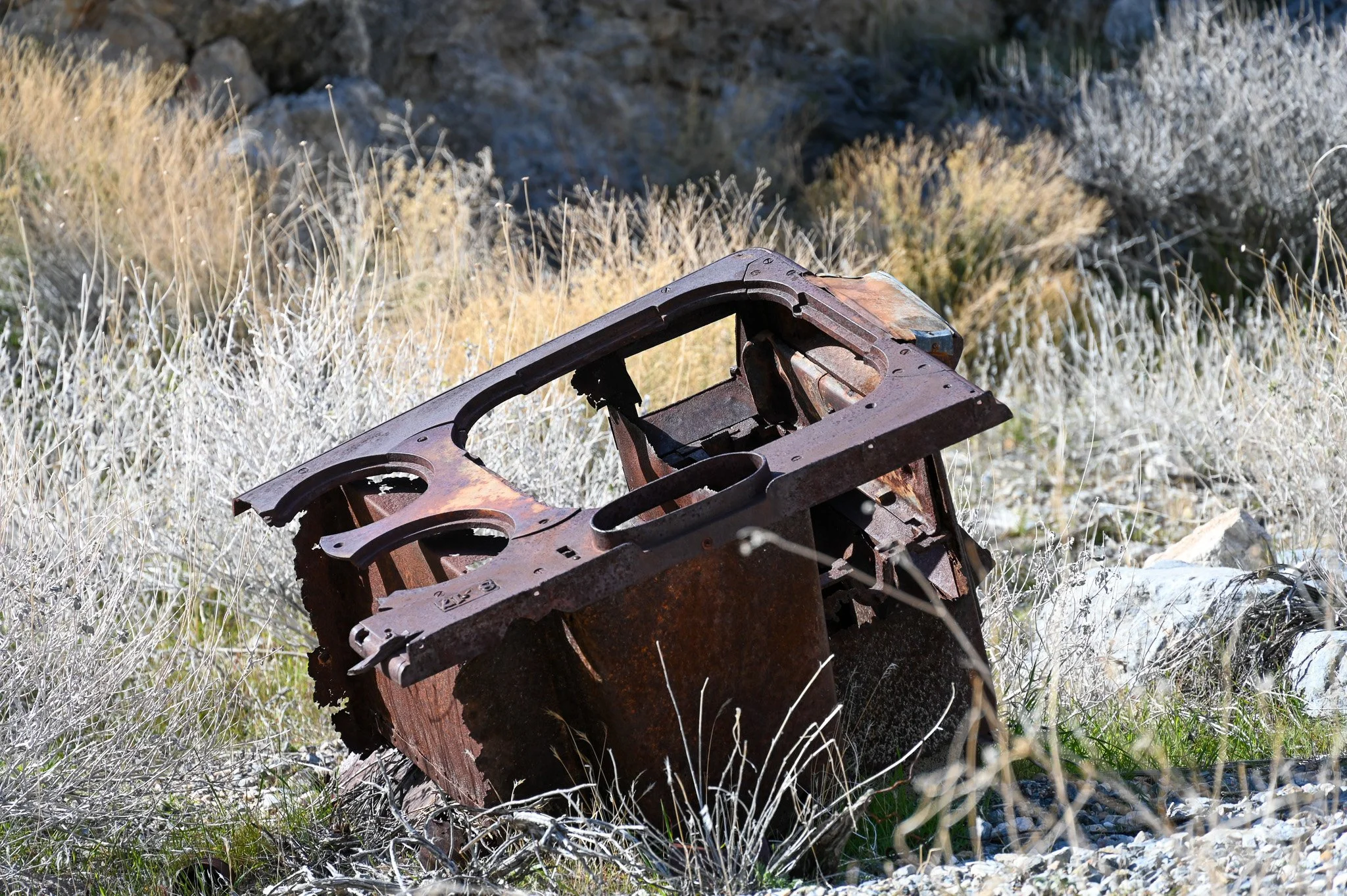
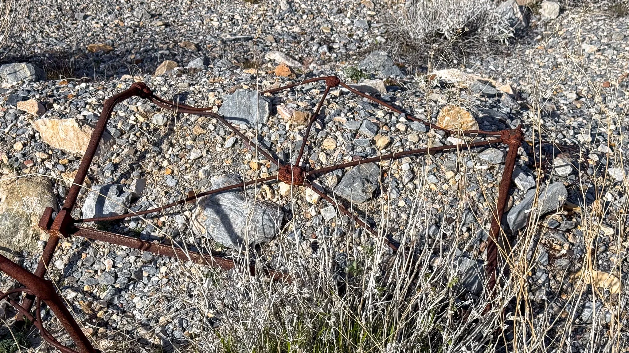
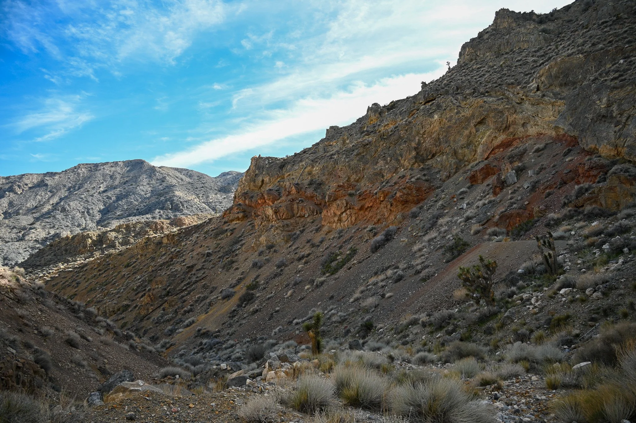
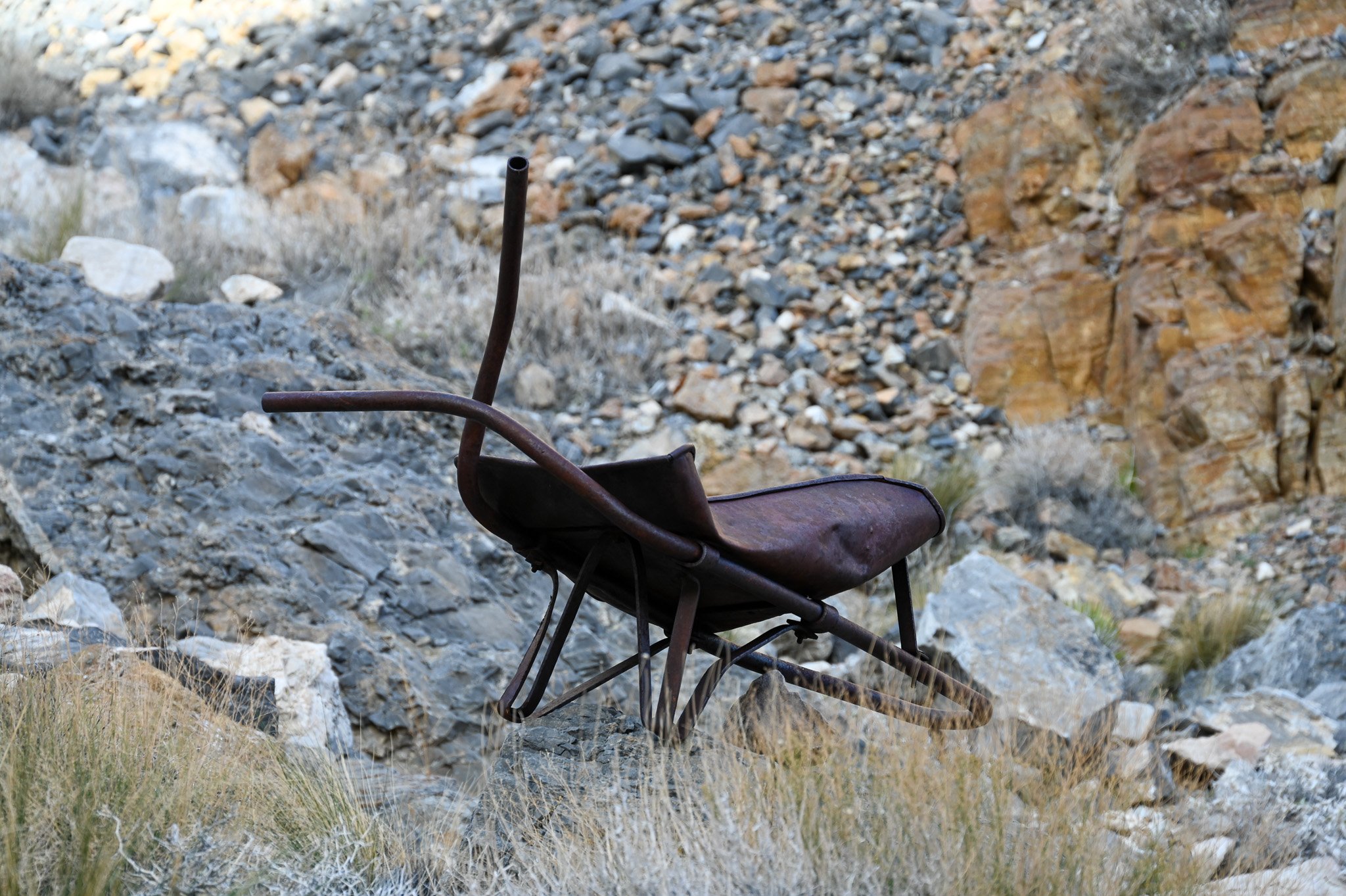
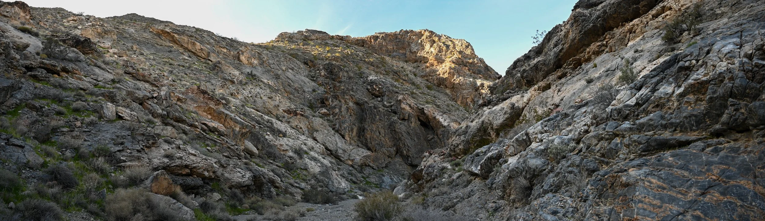
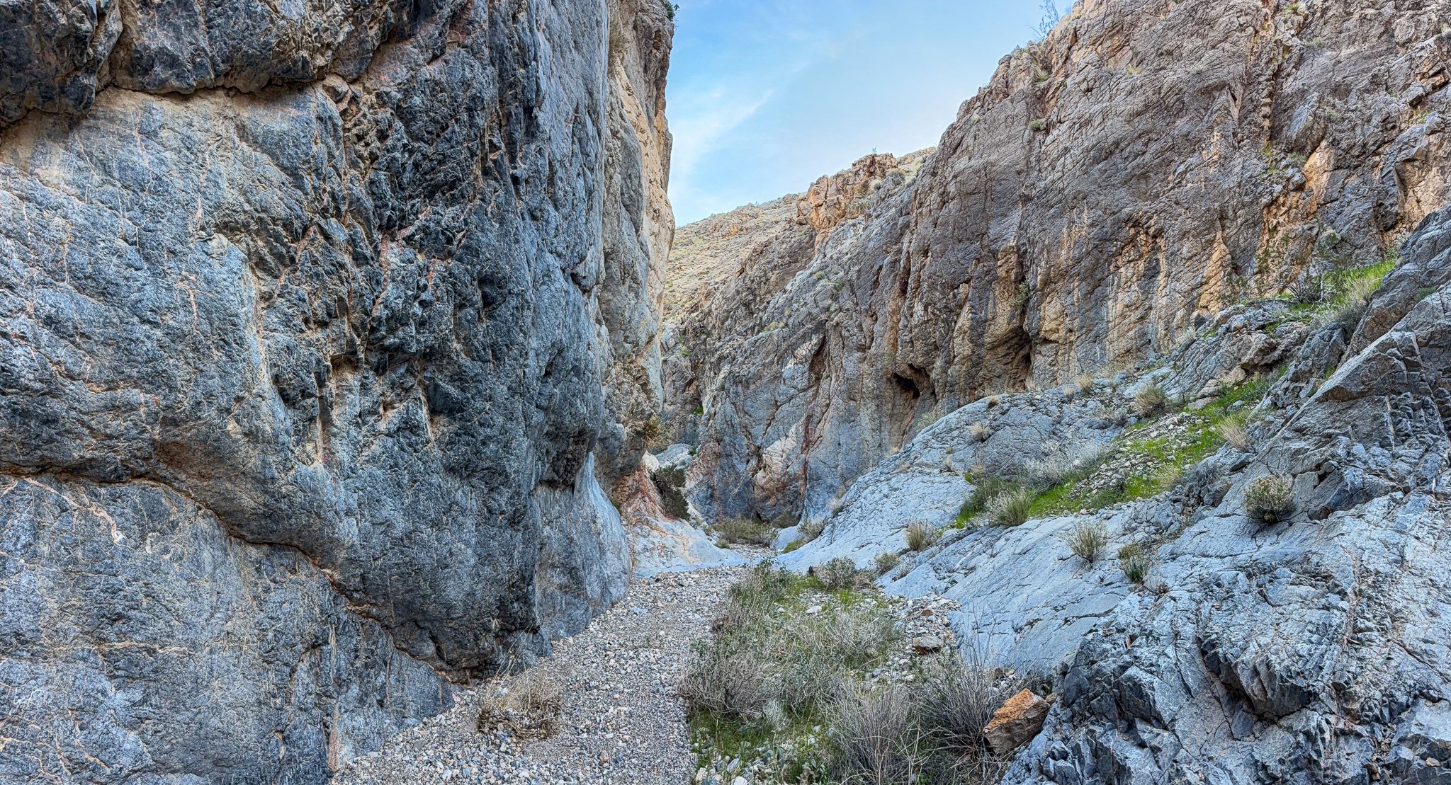
Heading up canyon, there are quite a few forks but the general pattern to remember is right-left-right-right to get to Lemoigne’s Mine. The canyon first gets interesting around (.4939, .2912) el 3000 where it narrows into a tight slot. It’s hard to imagine there being a road here previously. It opens and closes several times along the course and many of the side canyons also look interesting and worth coming back to explore. The cabin is found around 4 miles in at (.4699, .3121) el 4809. There are two major intact building, the small rusty one which is John Lemoigne’s original cabin build sometime before his death in 1919 (he’s buried down near Salt Creek) and a new building which is from the last phase of mining which ran until the early 1950s. There are a lot of interesting artifacts to observe scattered about (don’t take any) and the site is reasonably intact given the elevation and age.
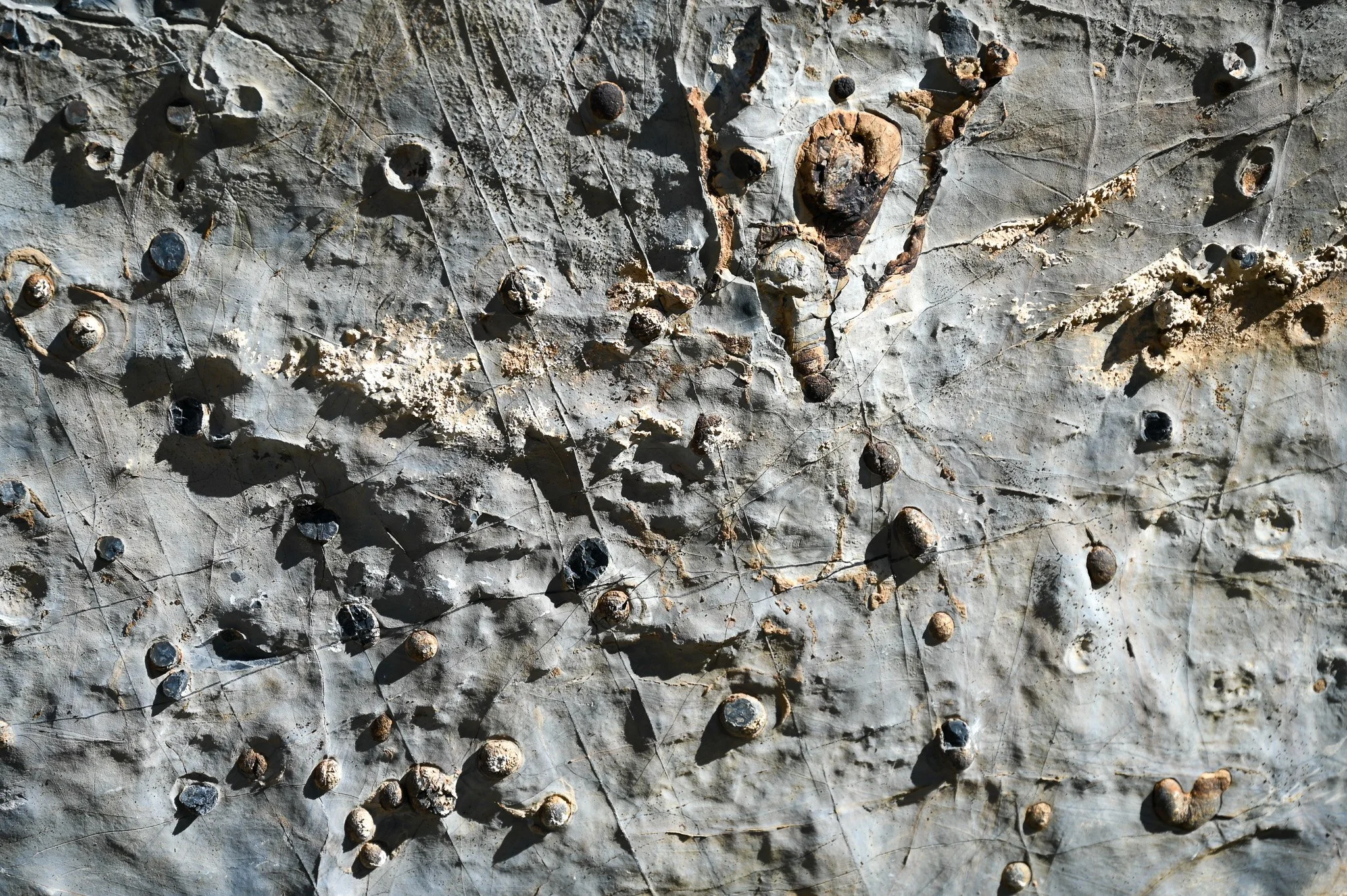
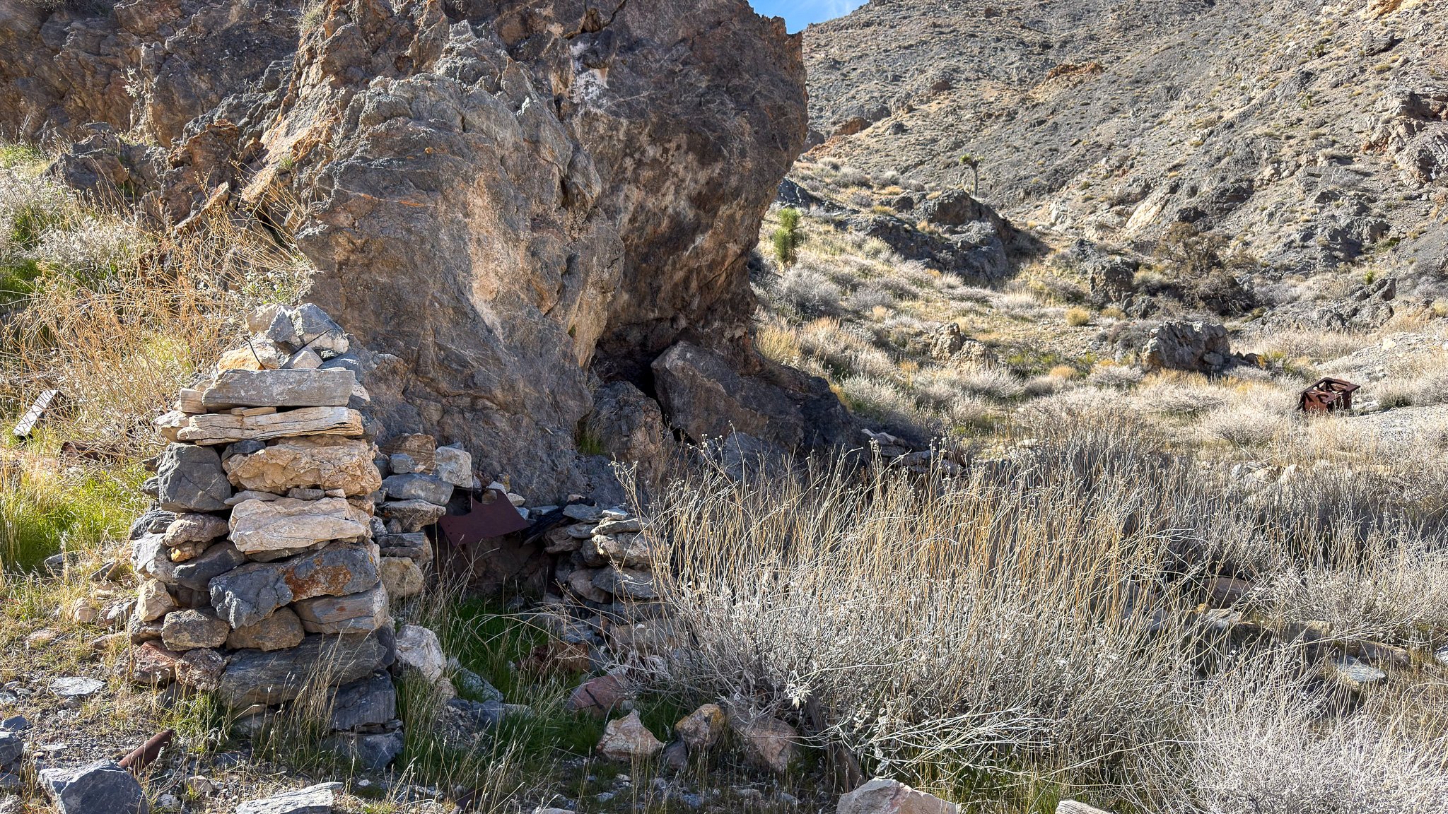
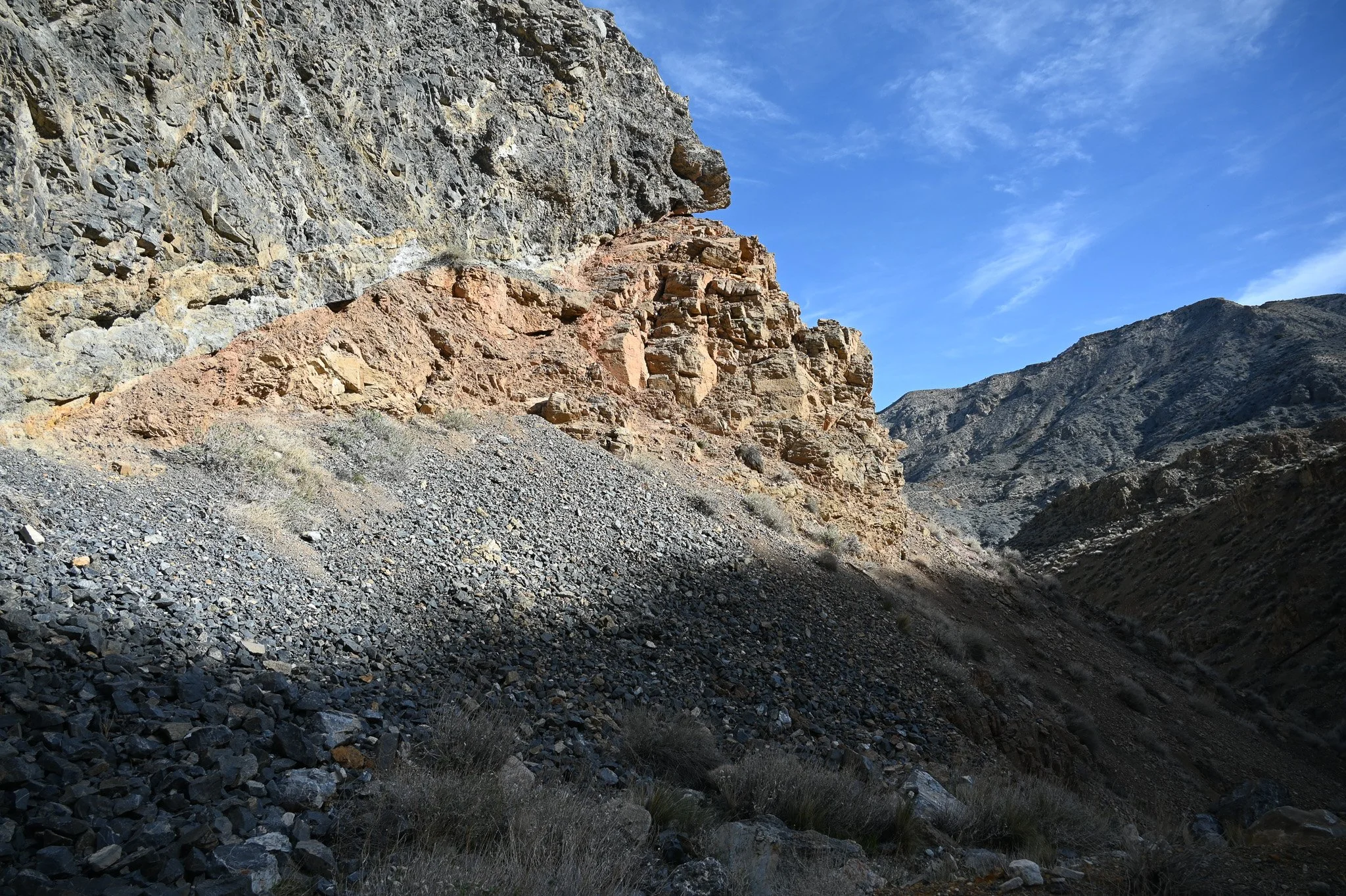
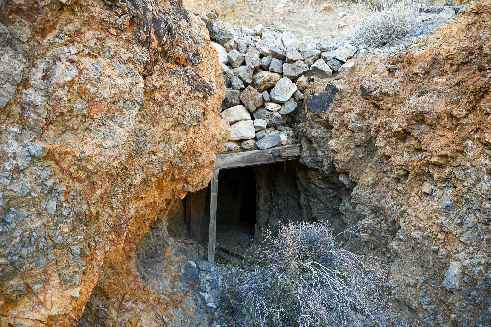
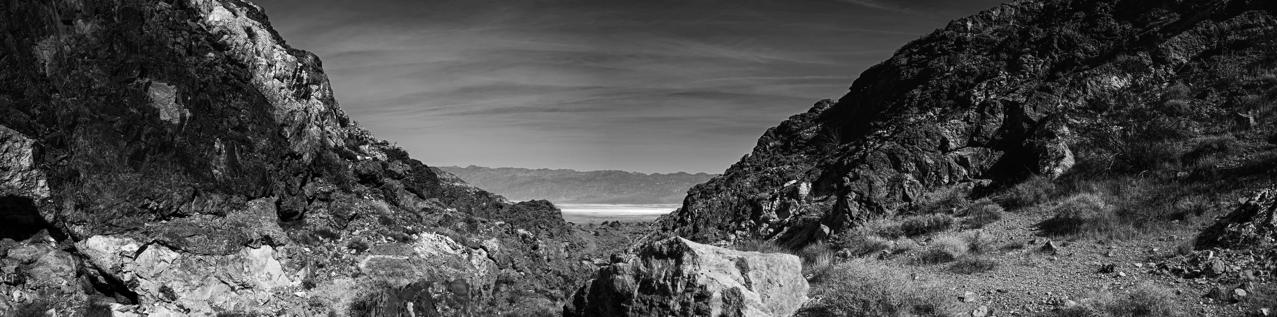
From the cabin we rounded back into the main wash and headed up to the main part of Lemoigne’s Mine which is labeled as such on the USGS Topo and is located at (.4706, .3197) el 5100. The last adit is right next to a dryfall which impedes further progress though it looks like you could find a bypass in the adjacent ridgelines. This was as far as we intended to come today so we didn’t go find one. The mine remains are a few adits and some old air duct strung up the hill to the higher working. There is one adit that is very enticing but it’s a death trap in the making and I highly recommend you stay out. It’s got a timbered collar with a rock cap but the innermost timber has a visible cross-grain crack and is ready to go at anytime. Based on size of the cap it weighs probably 6ish tons and is large enough to seal the adit. All the other timbered adits here have already collapsed so this one isn’t safe, it’s a time bomb. Will be surprised if it’s up next time I visit.
After poking around some, we headed back down. Total distance was 9.5 miles with 2800 feet of elevation.